|
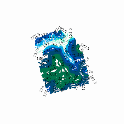
Width: 400 Height: 400 Extent:
YMin: 4209039.489304944 XMax: 700116.9334450557 YMax: 4210552.816955055 Spatial Reference: 32617 (32617) LatestVCSWkid(0) Scale: 14299.130300370407 |
| ArcGIS REST Services Directory | Login |
| Home > services > yellowmountiancontours_m (MapServer) > export | API Reference |

|
Width: 400 Height: 400 Extent:
YMin: 4209039.489304944 XMax: 700116.9334450557 YMax: 4210552.816955055 Spatial Reference: 32617 (32617) LatestVCSWkid(0) Scale: 14299.130300370407 |