|
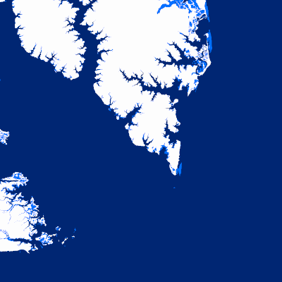
Width: 400 Height: 400 Extent:
YMin: 3619796.315500615 XMax: 1.2153562783256913E7 YMax: 3683001.5349414293 Spatial Reference: 102747 (2284) LatestVCSWkid(0) Scale: 182031.03198954463 |
| ArcGIS REST Services Directory | Login |
| Home > services > Tidal_Datums (MapServer) > export | API Reference |

|
Width: 400 Height: 400 Extent:
YMin: 3619796.315500615 XMax: 1.2153562783256913E7 YMax: 3683001.5349414293 Spatial Reference: 102747 (2284) LatestVCSWkid(0) Scale: 182031.03198954463 |