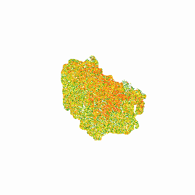
|
Width: 400 Height: 400 Extent:
YMin: 4194657.269871044 XMax: 327091.72332942486 YMax: 4249150.336225088 Spatial Reference: 26918 (26918) LatestVCSWkid(0) Scale: 514894.0853660844 |
| ArcGIS REST Services Directory | Login |
| Home > services > ApHillPercSlope (MapServer) > export | API Reference |

|
Width: 400 Height: 400 Extent:
YMin: 4194657.269871044 XMax: 327091.72332942486 YMax: 4249150.336225088 Spatial Reference: 26918 (26918) LatestVCSWkid(0) Scale: 514894.0853660844 |